Black-White Based Simple Maps and Graphs
Properties: A set of 7 Hand-drawn maps during senior high school without a consistent style, but based on Black-White guidelines.
Languages: Chinese, English, or Chinese and English
Format: Hand-drawn, A4 Paper
Purpose: Sell and Earn money in the School Fair
Tools: Paper, Black Marker, Pencil, Eraser, Ruler
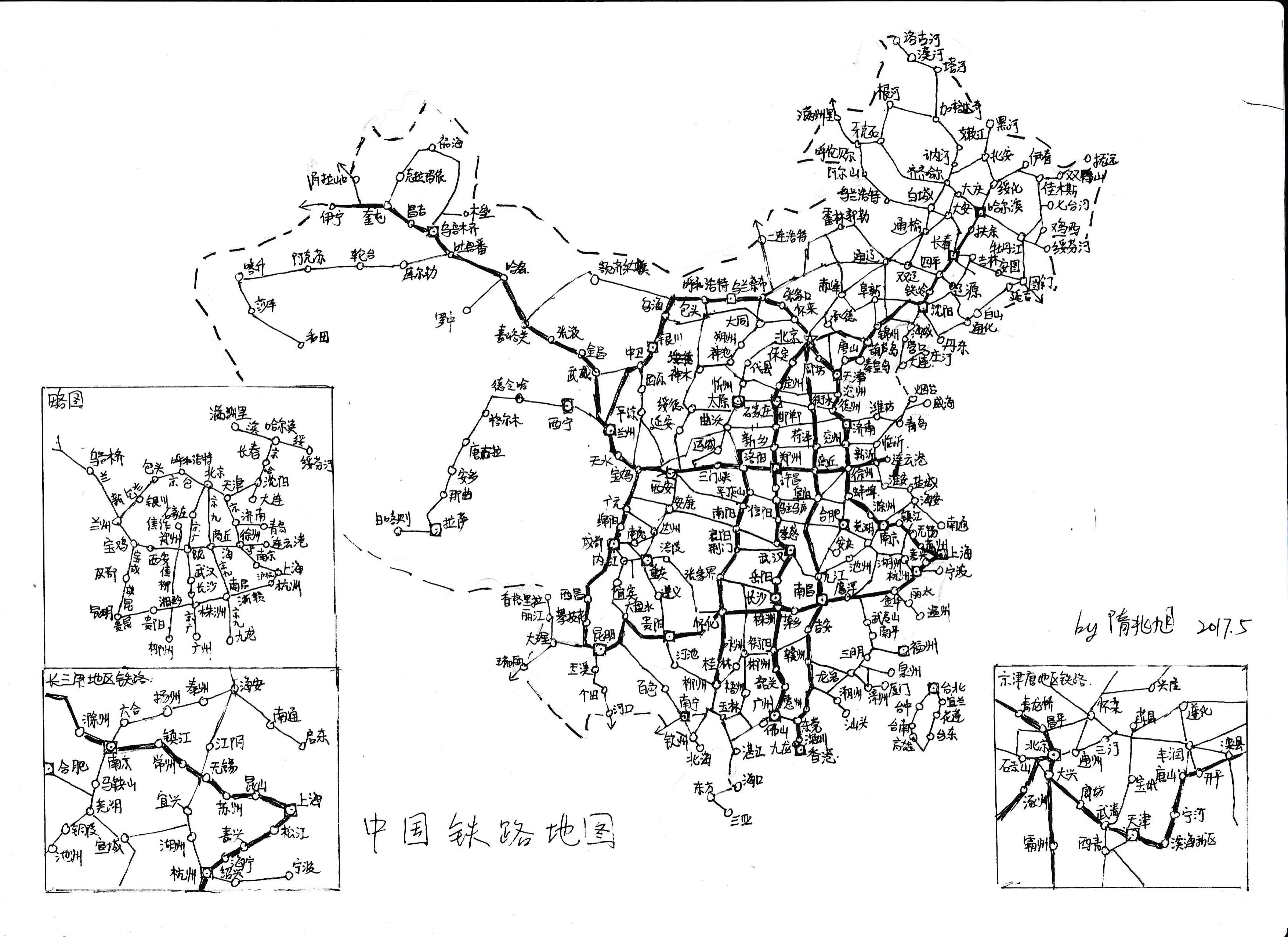
China Railways:
Featuring all the regular railways in China
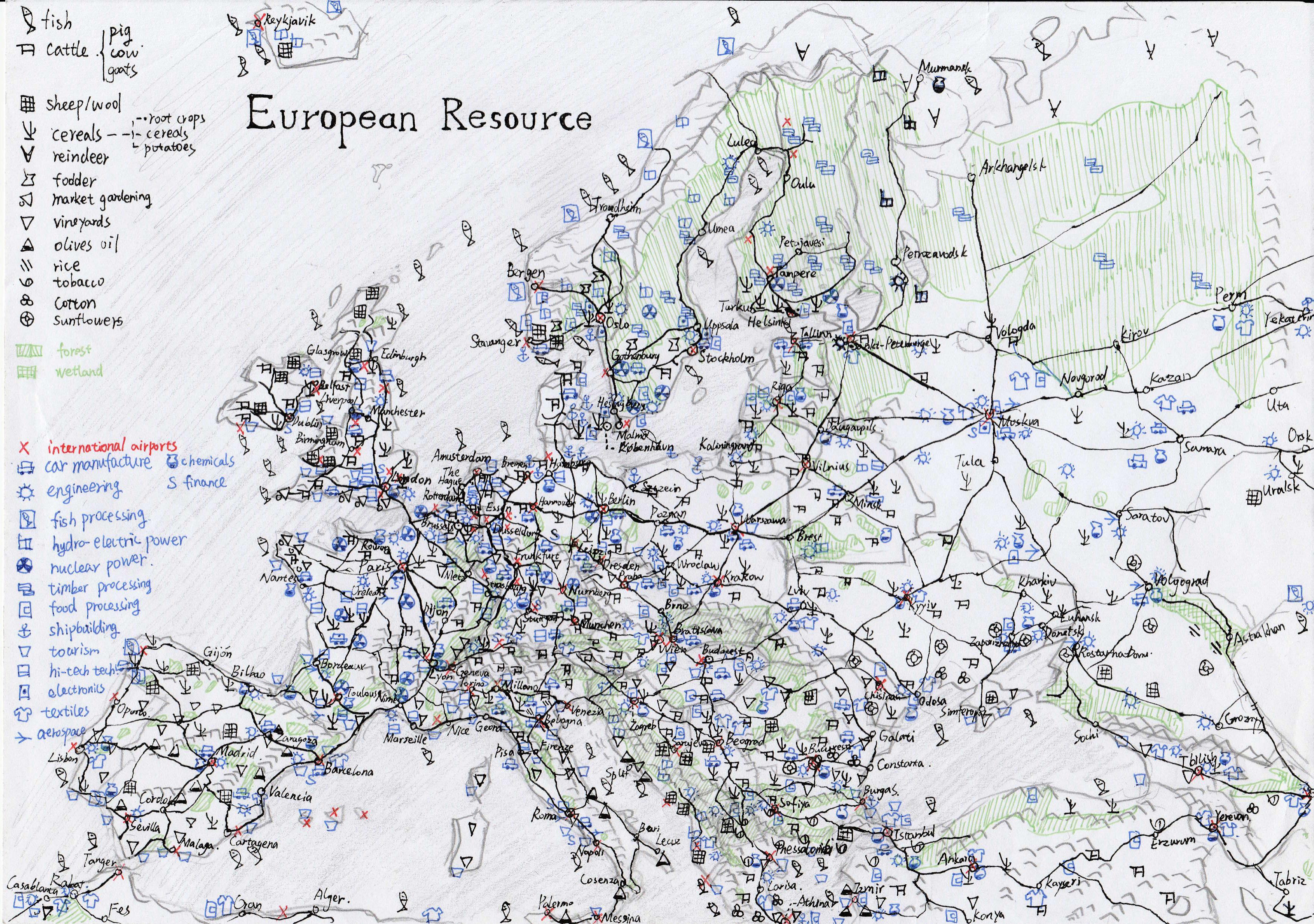
Resources of Europe:
Depicting all the natural resources and industries in Europe, data from DK atlas of the world
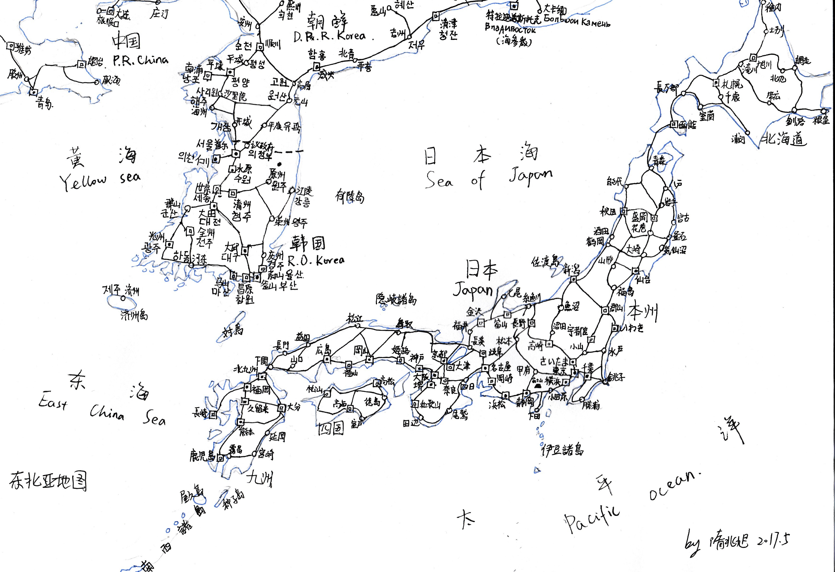
North East Asia:
Featuring Japan and Korean Peninsula in their local languages and Chinese
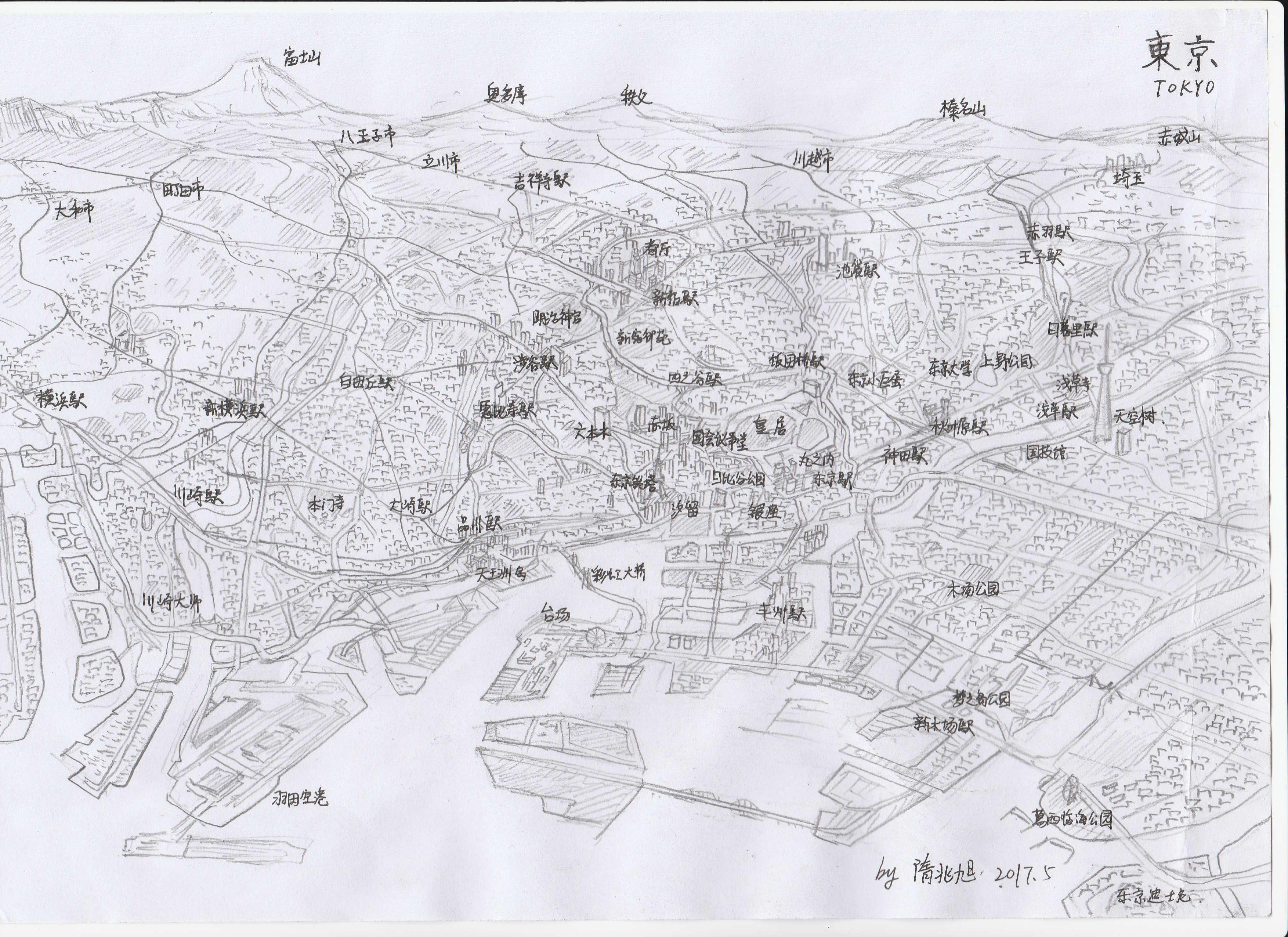
Tokyo from Above:
A simple bird-eye drawing above the Tokyo Bay facing West
United States of America:
A simple work done in one biology class (45 minutes)

Map of the World:
A simple Mecator work done within one biology class (less than 45 minutes)

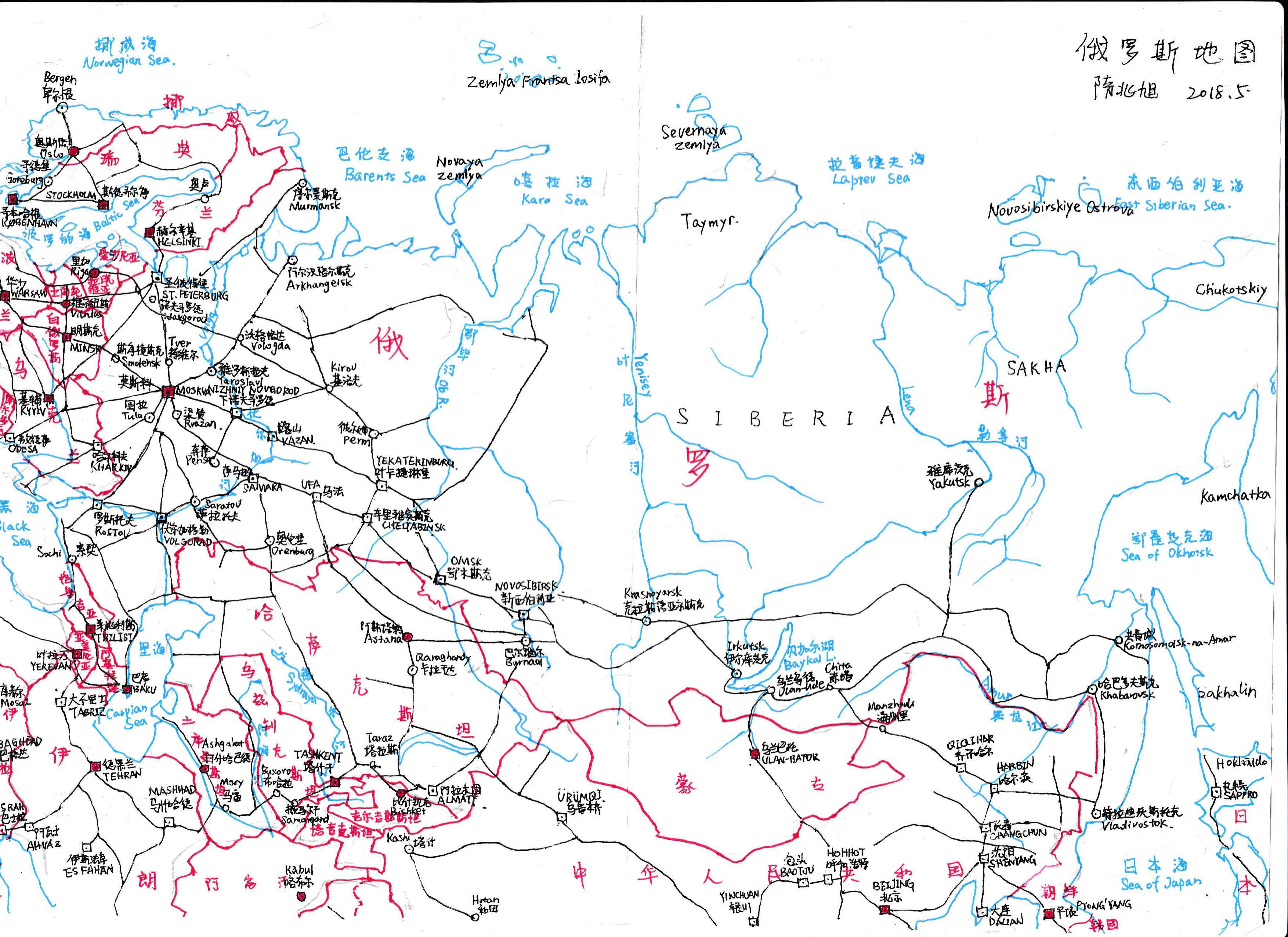
Map of Russia:
A simple work of Russia
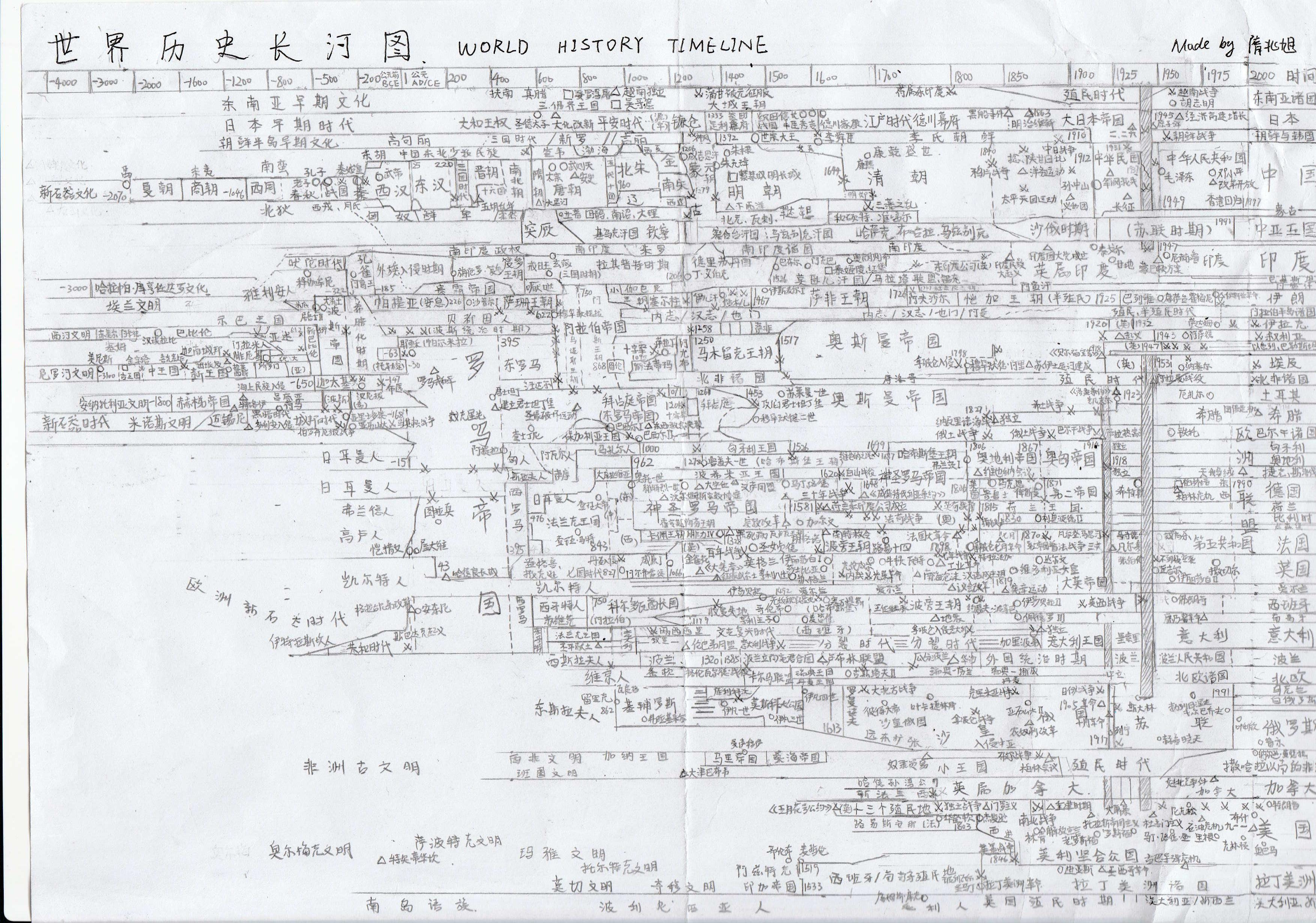
World History Timeline:
A lot of research efforts that you might now see because it was all written in Chinese (definitely more than 45 minutes)
