Hand-Drawn Historic Maps of Eurasia
Properties: A set of 3 Hand-drawn maps during senior high school in a consistent style
Languages: Chinese, English (Occasional)
Format: Hand-drawn, A4 Paper
Purpose: Sell and Earn money in the School Fair
Tools: Paper, Black Marker, Color Pencils, Pencil, Eraser, Ruler
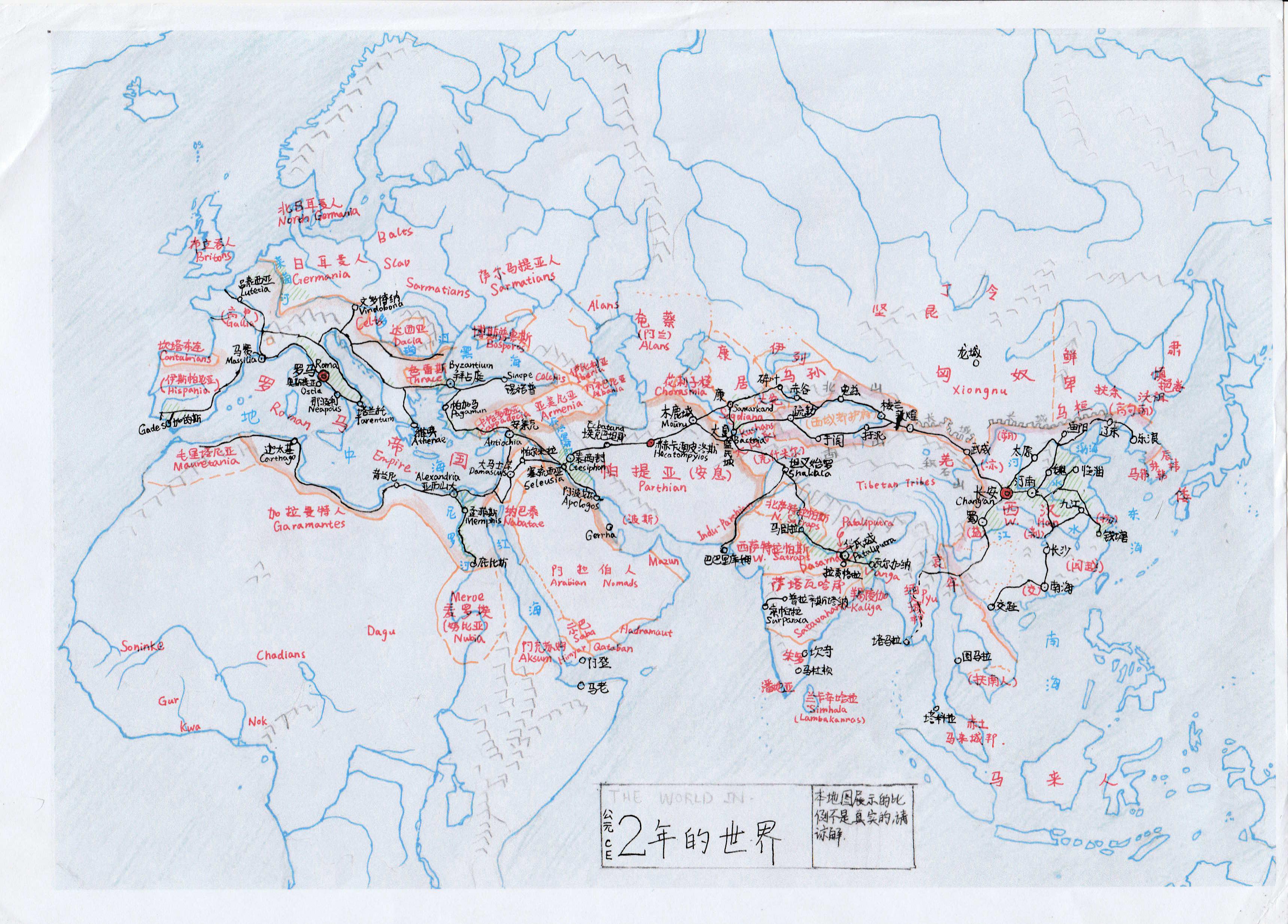
Eurasia, AD 2:

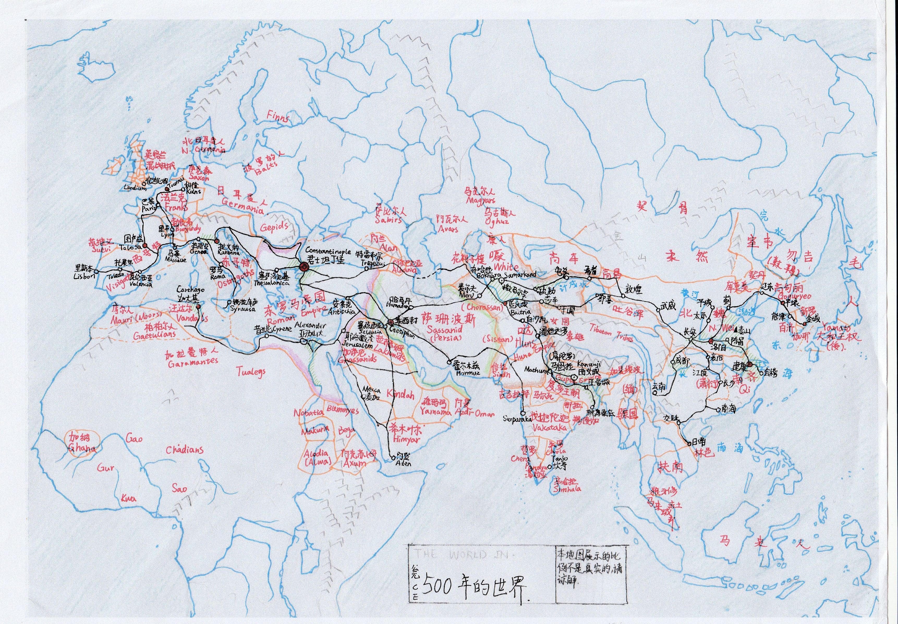
Eurasia, AD 500:

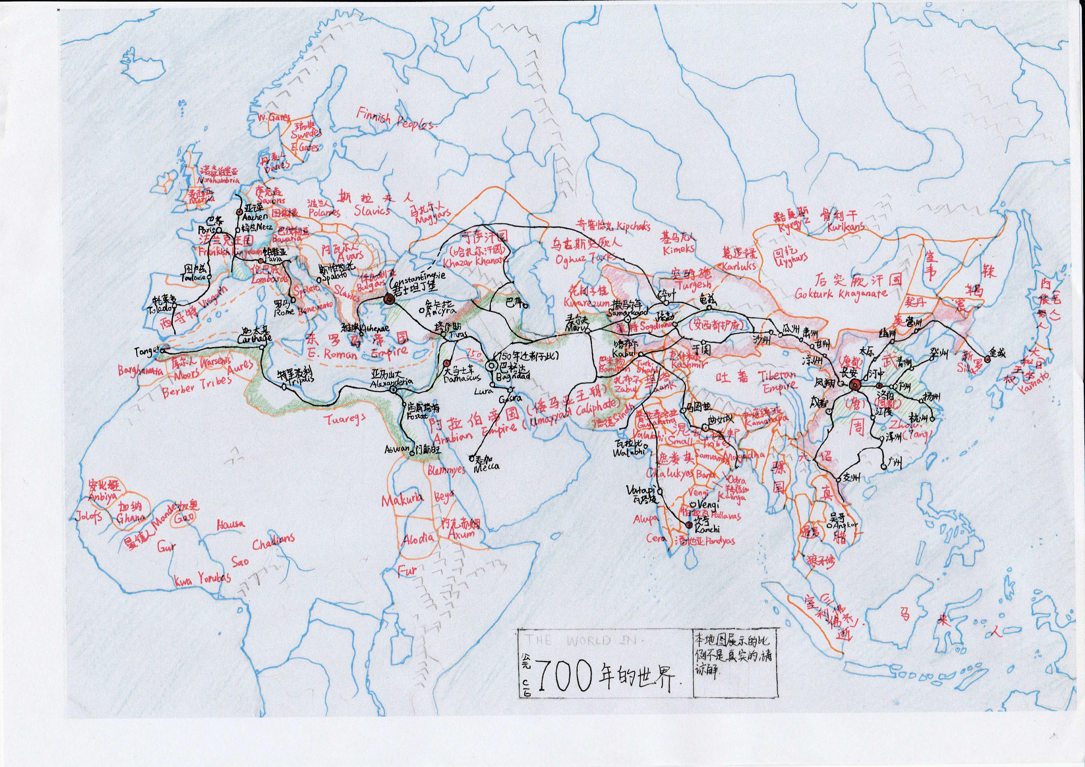
Eurasia, AD 700:

