A set of maps - Introduction to Cartography Lab Assignments
Properties: All the lab exercises in the course Introduction to Cartography, 2020 Fall Semester
Languages: English
Format: digital made
Purpose: Learning and getting familiar with Esri softwares
Tools: ArcGIS Pro
Lab 4: Global Wealth Distribution 1995 vs 2005
Choropleth, Classification methods and Symbologies

Lab 5: Black-White and Colored Maps of Alabama
Symbologies and Labels
.png)
.png)
Lab 6: Water Color Maps of the World / Colored LiDAR Map of Northern Minnesota
Styles and Raster Managing
.png)
.png)
Lab 7: General Reference Map of Otter Tail County, MN
General Reference Map Design and Layout

Lab 8: Population density and Transit Routes in the Twin Cities Area
Multi-variate Map Design

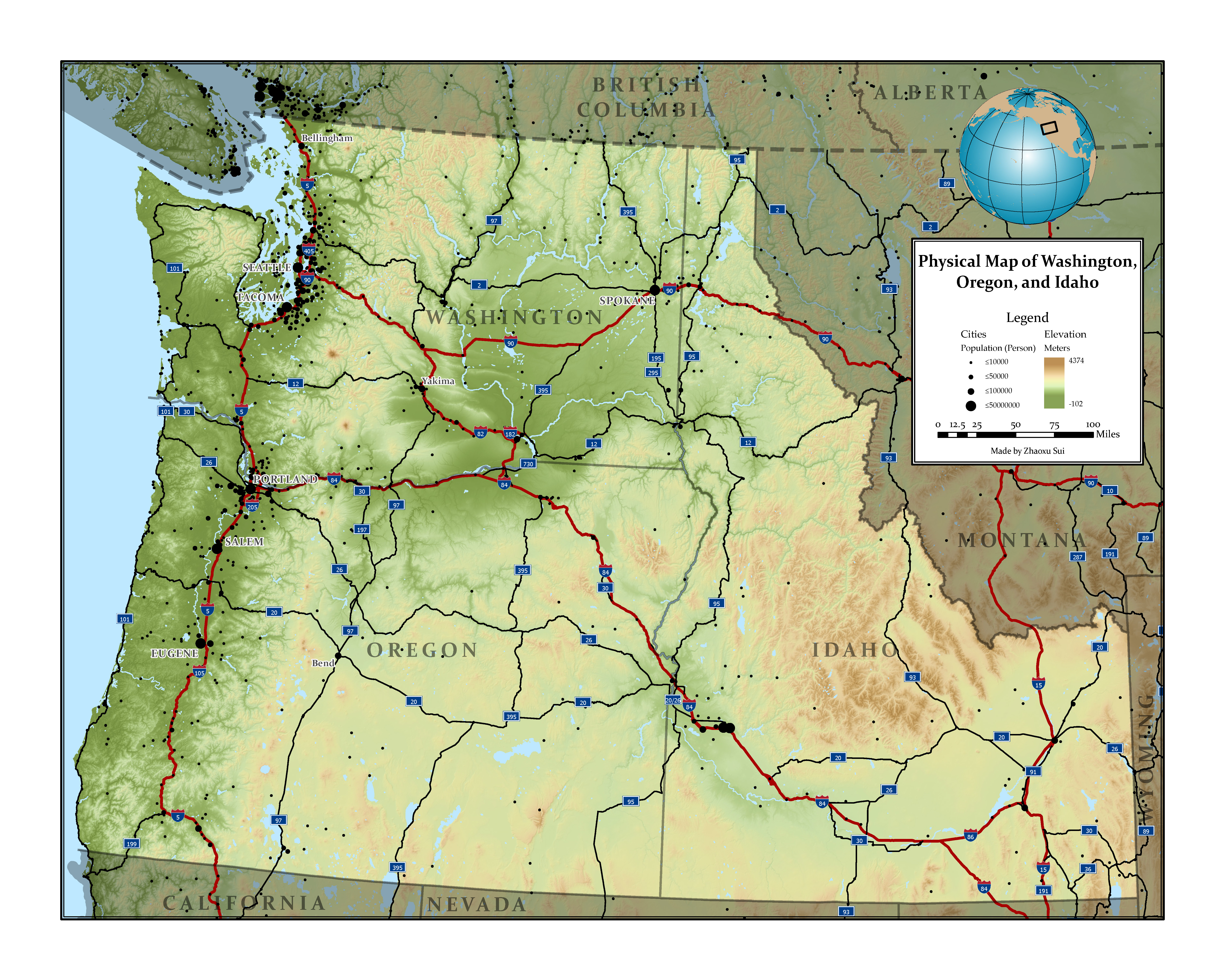
Lab 9: Physical Map of Washington, Oregon, and Idaho
General Reference Map Design with DEM Coloring and Hill Shading

