A set of maps - Introduction to GIS Lab Assignments
Properties: All the lab exercises in the course Introduction to GIS, 2020 Fall Semester
Languages: English
Format: digital made
Purpose: Learning and getting familiar with Esri softwares
Tools: ArcGIS Pro
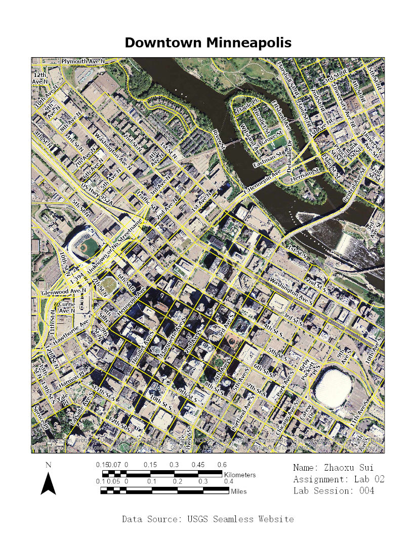
Lab 2: Downtown Minneapolis
Spatial Data Acquisition

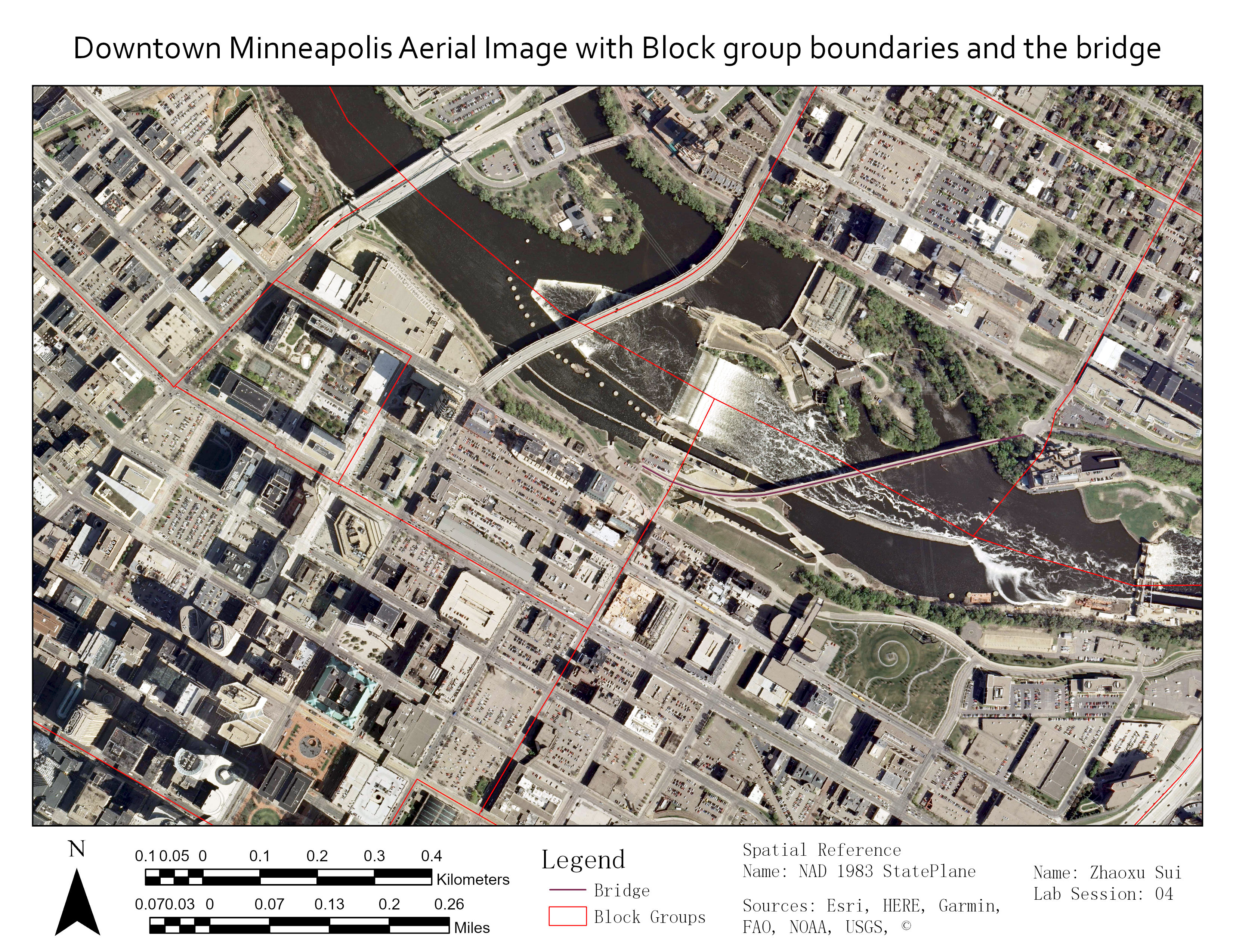
Lab 4: Downtown Minneapolis Aerial Image with Block Group Boundaries and the Bridge
Georeferencing and On Screen Digitization

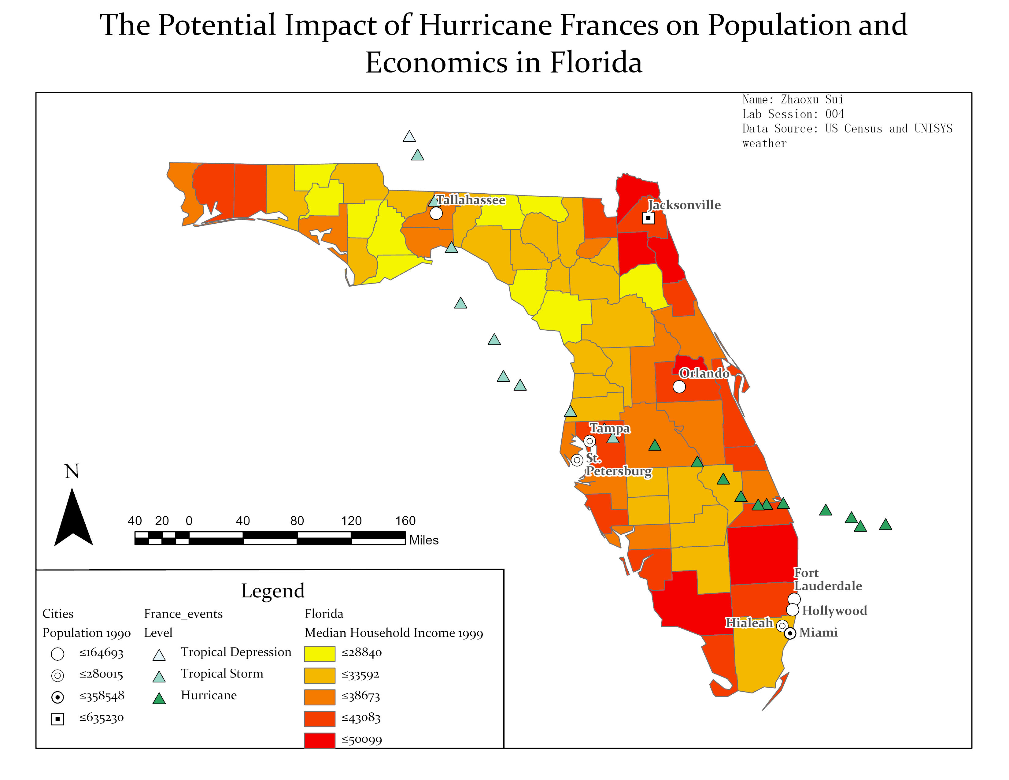
Lab 7: The Potential Impact of Hurricane Frances on Population and Economics in Florida
Vector Data Integration and Visualization

Lab 8: Housing Suitability for Mid-Manhattan
Fuzzy Suitability Analysis and Vector Processing

Lab 9: East-Asian Grocery Stores and Ratio of Asian Population in Minneapolis
Address Matching and Geocoding

